← Back to Services
Centimeter-Accurate Field Intelligence
Solar Drone Inspection Services & UAV RTK Monitoring
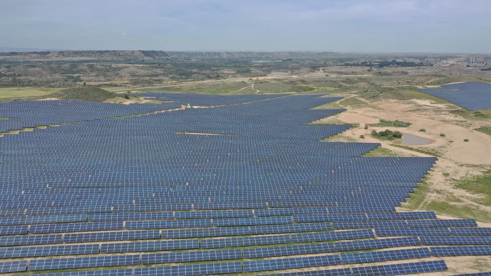
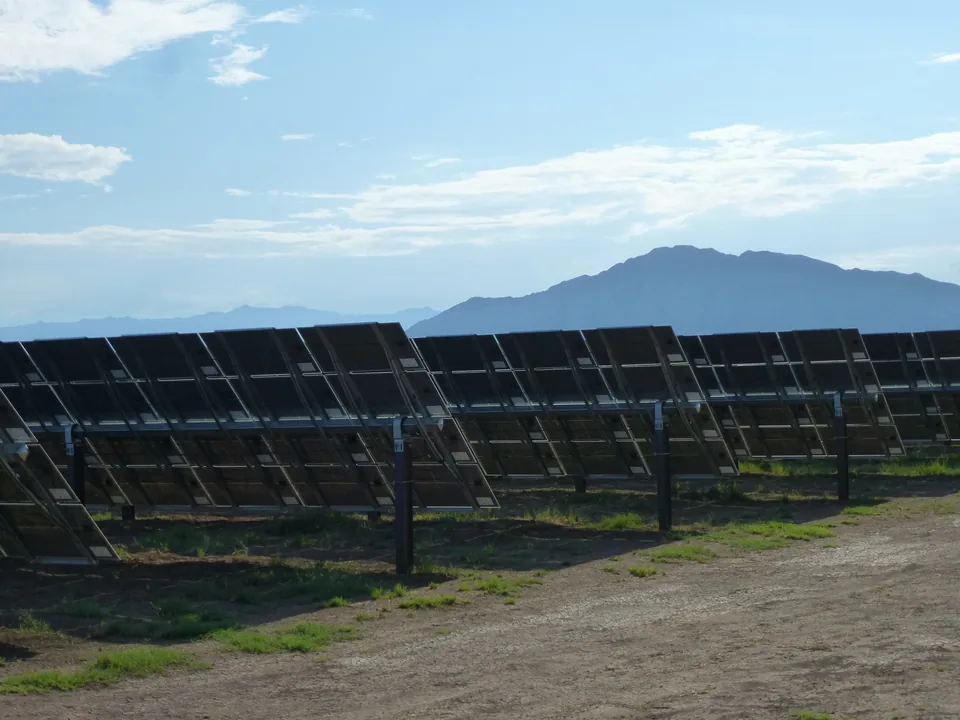
Nogacor provides UAV RTK monitoring for solar construction and technical consulting workflows. Drone-supported deliverables help EPC contractors, developers, and owner's engineers track progress, verify as-built conditions, quantify earthworks, and collect QA/QC evidence with centimeter-level positional accuracy.
Key Capabilities
- UAV RTK monitoring for solar construction progress
- As-built verification with centimeter-level positioning accuracy
- Orthomosaic and topographic evidence for field coordination
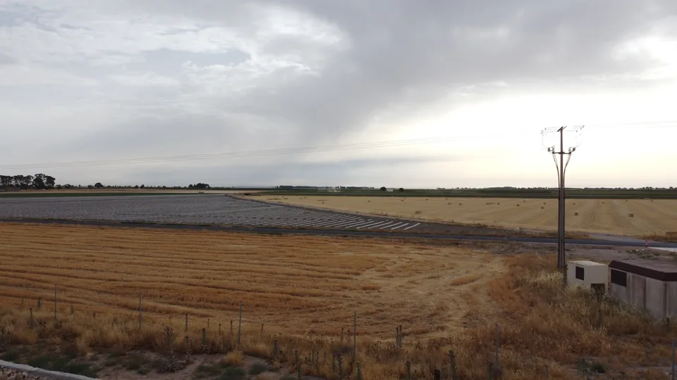
- Volumetric earthworks and material movement calculations
- Thermographic QA/QC evidence collection when conditions allow
- Tracker, pile, trench, road, erosion-control, and drainage verification support
- Progress reporting and visual documentation packages
- Compliant with FAA Part 107 (US) and AESA (EU) frameworks